Exploration Potential
The Whale Cove Project encompasses a district-scale land package of 2,149 km² within the largely under-explored Rankin-Ennadai greenstone belt, approximately 80 kilometres south of Agnico-Eagle’s Meliadine Mine.
BG Gold has combined historical data on the Whale Cove Project area with modern LiDAR, geophysics, till geochemistry, and drilling to define a pipeline of more than 30 ranked targets across multiple interpreted structural corridors – the vast majority of which remain underexplored by modern systematic drilling. Gold mineralization across the Whale Cove Project is interpreted to be structurally controlled and orogenic in nature, with prospective shear zones, intrusive-margin settings, and folded iron formation horizons recurring across a broad network of mineralized structural corridors.
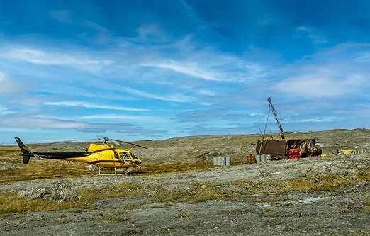
Reconnaissance drilling at the CZ target in 2025 returned 64 metres at 3.1 g/t Au, whilst Haputilik and Howitzer returned historic intercepts of 4.9 metres at 6.3 g/t Au and 34.5 metres at 1.3 g/t Au, respectively, demonstrating the district’s potential beyond the Vickers Deposit.


Structural analysis has identified multiple interpreted gold-bearing structural corridors across the Whale Cove Project, with east-west, northeast, and northwest cross-structure trends all considered prospective.


Image gallery